By: Darith Tran|Geovisualization Project Assignment|TMU Geography|SA8905|Fall 2024
Introduction/Background
The city of Hamilton, Ontario is home to many trails and waterfalls and offers many scenic and nature-focused areas. The city is situated along the Niagara Escarpment, which allows for unique topography and is the main reason for the high frequency of waterfalls that exist across the city. Hamilton is dubbed as the waterfall capital of the world, being home to over 100 waterfalls within the city’s boundaries. Despite this, Hamilton is still under the radar for tourists as it sits between 2 other major cities that see higher tourist traffic such as Niagara Falls (which is home to one of the world’s most known waterfall) and Toronto (popular for the CN Tower and hustle bustle city atmosphere).
The main purpose of this project was to increase awareness for the beauty of the Southern Ontario wonder and to provide prospective visitors, or even citizens of Hamilton, with an interactive story map to provide some general information on the trails connected to the waterfalls and the details of the waterfalls themselves. The 3D modelling aspect of the project aims to provide a unique visualization of how the waterfalls look in order to provide a quick, yet creative visual for those looking into visiting the city to see the waterfalls in person.
Data, Processing and Workflow (Blender + OpenTopography DEMs)
The first step of this project was to obtain DEMs for the regions of interest (Hamilton, Ontario) to be used as the foundation of the 3D model. The primary software used for this project was Blender (a 3D modeling software) leveraged by a GIS oriented plugin called “BlenderGIS” which is direct plugin available created by GitHub user domlysz allowing users to directly import GIS related files and elements such as shapefiles and base maps into the Blender editing and modelling pane. The plugin also allows users to load and access DEMs straight into Blender to be extracted and edited sourced through OpenTopography.
The first step is to open Blender and navigate towards the GIS tab in the object mode in the application :

Under the GIS tab, there are many options and hovering over “web geodata” prompts the following options:

In this case, we want to start off with a base map and the plugin has many sources available including the default Google Maps, ESRI Base maps as well as OpenStreetMap (Google Satellite was used for this project)

Once the base map is loaded into the Blender plane, I zoomed into the area of interest #1, being the Dundas Peak region, which is home to both Tew’s Falls and Webster’s Falls. The screenshot below shows the 2D image of Tew’s Falls in the object plane:

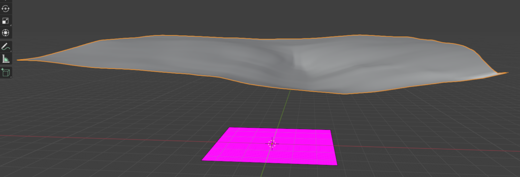
Once an area of interest is defined and all information is loaded, the elevation model is requested to generate the 3D plane of the land region:


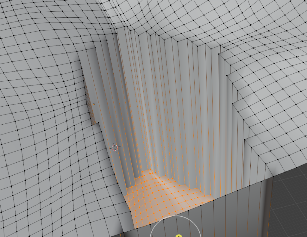
The screenshot above shows the general 3D plane being created from a 30m DEM extracted from OpenTopography through the BlenderGIS plugin. The screenshot below showcases the modification of the 3D plane through the extrusion tool which adds depth and edges to create the waterfall look. Below is the foundation used specifically for Tew’s Falls.

Following this, imagery from the basemap was merged with the 3D extrusted plane to produce a the 3D render of the waterfall plane. To add the waterfall animation, the physics module was activated, allowing for various types of motion to be added to the 3D plane. Fluid was selected with the outflow behavior to simulate the movement of water coming down from a waterfall. This was then overlayed onto the 3D plane of the waterfall to simulate water flowing down from the waterfall.


These steps were then essentially repeated for Webster’s Falls and Devil’s Punchbowl waterfalls to produce 3D models with waterflow animations!
Link to ArcGIS Story Map: https://arcg.is/05Lr8T
Conclusion and Limitations
Overall, I found this to be a cool and fun way to visualize the waterfalls of Hamilton, Ontario and adding the rendered product directly onto ArcGIS Story Maps makes for an immersive experience. The biggest learning curve for this project was the use of the application Blender as I have never used the software before and have only briefly explored 3D modelling in the past. Originally, I planned to create 10 renders and animations of 10 waterfalls in Hamilton however, this became a daunting task after realizing the rendering and export times after completing the 3 models shown in the Story Map. Additionally, the render quality was rather low since 2D imagery was interpolated into a 3D plane which caused some distortions and warped shapes which would require further processing.